Transparent project presentations and exciting project stories take stakeholder engagement to a new level
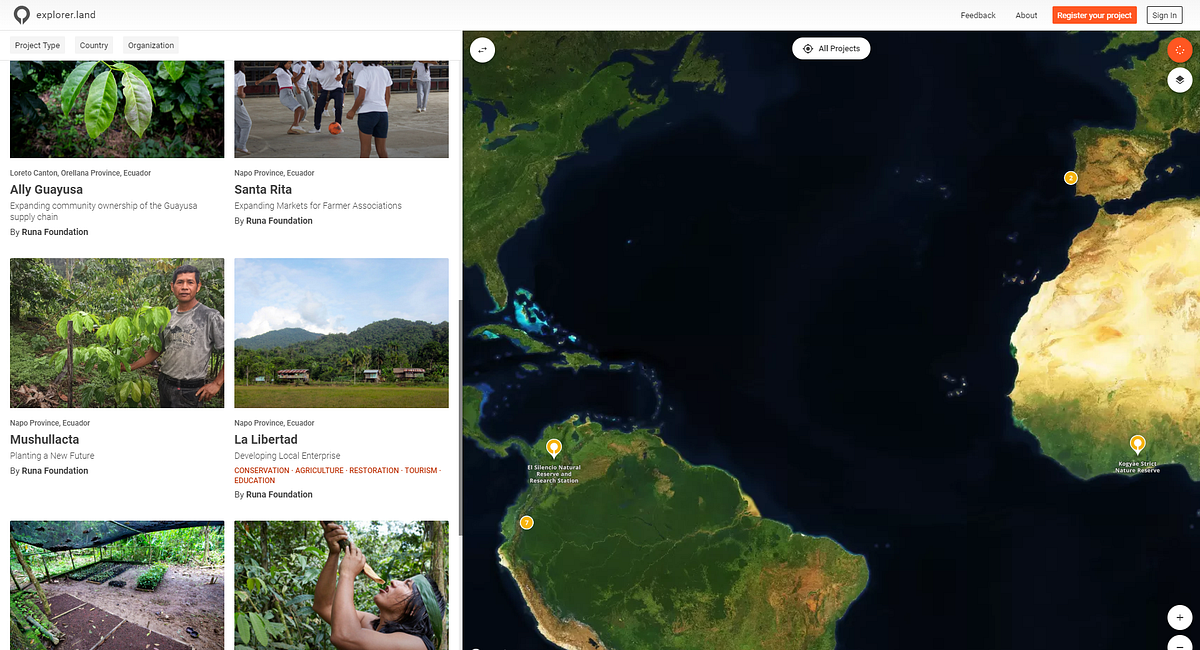
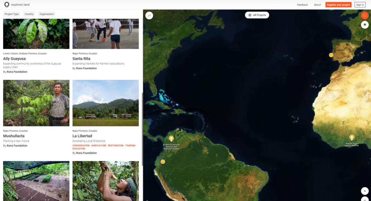
Krefeld, Germany — October 30, 2018: OpenForests, an innovative German forest consulting and tech company, just released the explorer.land platform. The interactive map-based platform is designed to present forest and landscape projects and tell their stories while connecting like-minded organizations and stakeholders from around the world.
“We believe that explorer.land will cause a substantial paradigm shift in the way sustainable forest and landscape projects are presented to the world,” says Dr. Patrick Ribeiro, co-founder, and CEO of OpenForests. “The new level of visibility and transparency will accelerate networking, improve market access and help built trustworthy relations with stakeholders.”
The goal of the explorer.land platform is to support projects with a comprehensive presentation tool that improves their visibility for collaborators, investors, donors, and product buyers by creating transparency and conveying the human dimension inherent in each project.
explorer.land offers unique storytelling features for all type of users and for different end-use purposes. With the help of high-resolution maps, investors and donors can see how successfully their contributions support the restoration of bare lands. Buyers of sustainable forest products, such as cacao or coffee, can better link them to the sourcing origin. Besides the improvement of environmental conditions, the investors can better access and follow the direct impact of financial inputs on the well-being of local communities by bridging the distance and bureaucratic gap. With easy-to-use features of the platform, the project implementers can visualize the improvements more effectively. Visitors of the webpage can explore the projects and discover inspiring stories in space and time.
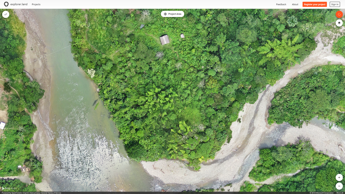
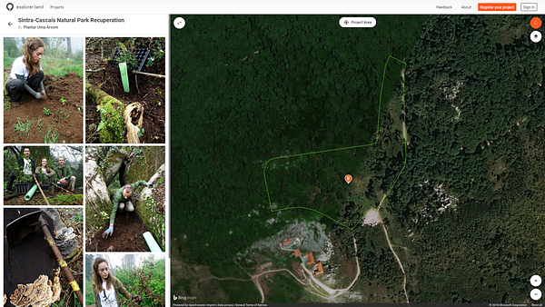
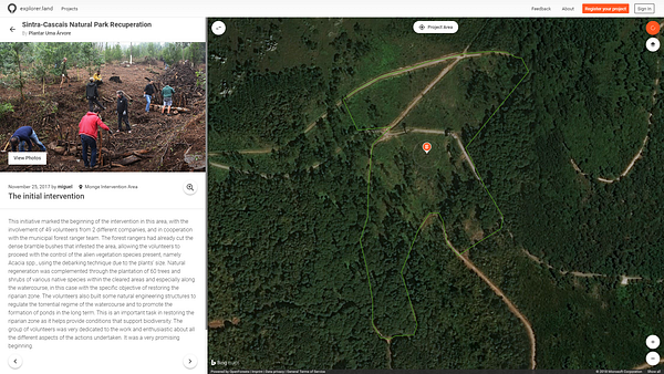
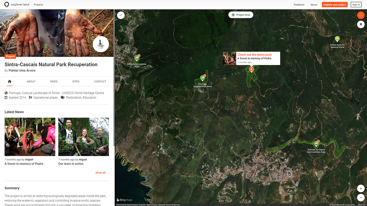
Unlike other social media and presentation platforms, where content is shared chronologically, the explorer shows all published content, such as posts, photos, and videos in its geographical context over interactive and high-resolution maps. Geolocated posts document project activities, and time series of aerial photos show the changing landscape.
Thus, as an alternative to lengthy annual reports or audits, we offer stakeholders an opportunity to dive into a new type of project management, community engagement and accountability process built on transparency, mutual trust, and richness of communication.
Learn more in the following video introduction:
Project impressions
Download press kit
Further information
- Introduction video: youtu.be/s7PLn2pJjOc
- Background information: explorer.openforests.com
- Platform: explorer.land
- Newsletter: eepurl.com/dmCTQ5
- Facebook: www.facebook.com/explorer.land
- Twitter: twitter.com/ExplorerLand
- About OpenForests: www.openforests.com
We are looking forward to speaking with you!
OpenForests UG (haftungsbeschränkt)
Patrick Ribeiro
mail: explorer@openforests.com
skype: patrick.m.r.ribeiro
phone: +49 (0)228 823 694 68
